
The Pic de Nore, highest point of the Montagne Noire: access, view, waymarked loop
The Pic de Nore is the highest point of the Montagne Noire, at 1,211 metres, 78 minutes' drive from the loft on the far side of the massif. This page covers what you see, how you get up by car or on foot, and what the tourist office says about snow.
What the Pic de Nore is
The summit stands at 1,211 metres, the highest point of the Montagne Noire according to the Aux sources du canal du Midi tourist office and the Haut-Languedoc regional nature park. You spot it from far off by its red and white broadcasting mast. The waymarked loop's official sheet, published by Grand Carcassonne Tourisme, calls it a place "well known for its harsh climate", where only a few beeches and the heather moor withstand the cold, fog and wind.
The Tarn side of the massif lies within the Haut-Languedoc regional nature park; the summit itself is on the Aude side, above Pradelles-Cabardès. The massif is more than 80% forest and gets up to 1,400 mm of rain a year above 600 metres, according to the tourist office.
The view
The tourist office describes a "splendid 360° view from the Pic de Nore". On the waymarked loop, the viewpoint is 50 metres to the left of the path at the top. We do not list what can be seen on a clear day: no official source does, and fog is common on the ridge.
Driving up
A road reaches the summit: the official trail sheet follows the D 87 before the final climb and comes back down the Carcassonne road. From the loft, allow 78 minutes and 61 kilometres. The summit road hosts a cycling event every year, "la Jalabert", according to the tourist office.
In winter we found no official bulletin on the state of the road: check with the Pradelles-Cabardès town hall or the Aude department before setting off in snow.
The official loop, "Les Panoramas", from Castans
This is the only waymarked route to the summit we found on an official source: the Carcassonne Agglo sheet published by Grand Carcassonne Tourisme, checked on 29/10/2026.
The ice houses of Pradelles-Cabardès
Along the way, large covered pits where snow was packed to make ice, kept until summer and carted to the nearby towns: the village's "white gold", according to the same sheet. Also on the route: the seven bells, the two-faced cross, the washhouse, the Notre-Dame de la Pitié chapel and the llamas of Castans.
Snow and seasons
The tourist office writes that snow is the Montagne Noire's main winter draw but that it is "very occasional" and "very fleeting", that no snow-tyre rule applies in the massif, and that you should check the forecast before a winter outing. It adds that the days of the Pic de Nore ski station are over. We give no snowfall frequency: no official statistics exist for this summit.
In summer it is about 4 °C cooler than the plain, according to the tourist office. Whatever the weather in Revel, bring warm clothes for the top.
From the loft
Frequently asked questions
How high is the Pic de Nore?
1,211 metres. It is the highest point of the Montagne Noire, according to the Aux sources du canal du Midi tourist office and the Haut-Languedoc regional nature park.
Can you drive to the Pic de Nore?
Yes, a road reaches the summit: the official route from Castans meets it at the D 87 and descends by the Carcassonne road. Allow 78 minutes from the loft. In winter, check the road before you go.
Is there snow on the Pic de Nore?
Sometimes. The tourist office calls it "very occasional" and "very fleeting", and the trail sheet warns the path may be snow-covered in winter. There is no longer a ski station.
Which walk goes up the Pic de Nore?
The "Les Panoramas" loop from Castans: 17.7 km, 6 h 30, 749 m of ascent, graded difficult, according to the Grand Carcassonne Tourisme sheet checked on 29/10/2026.
Sleep next door
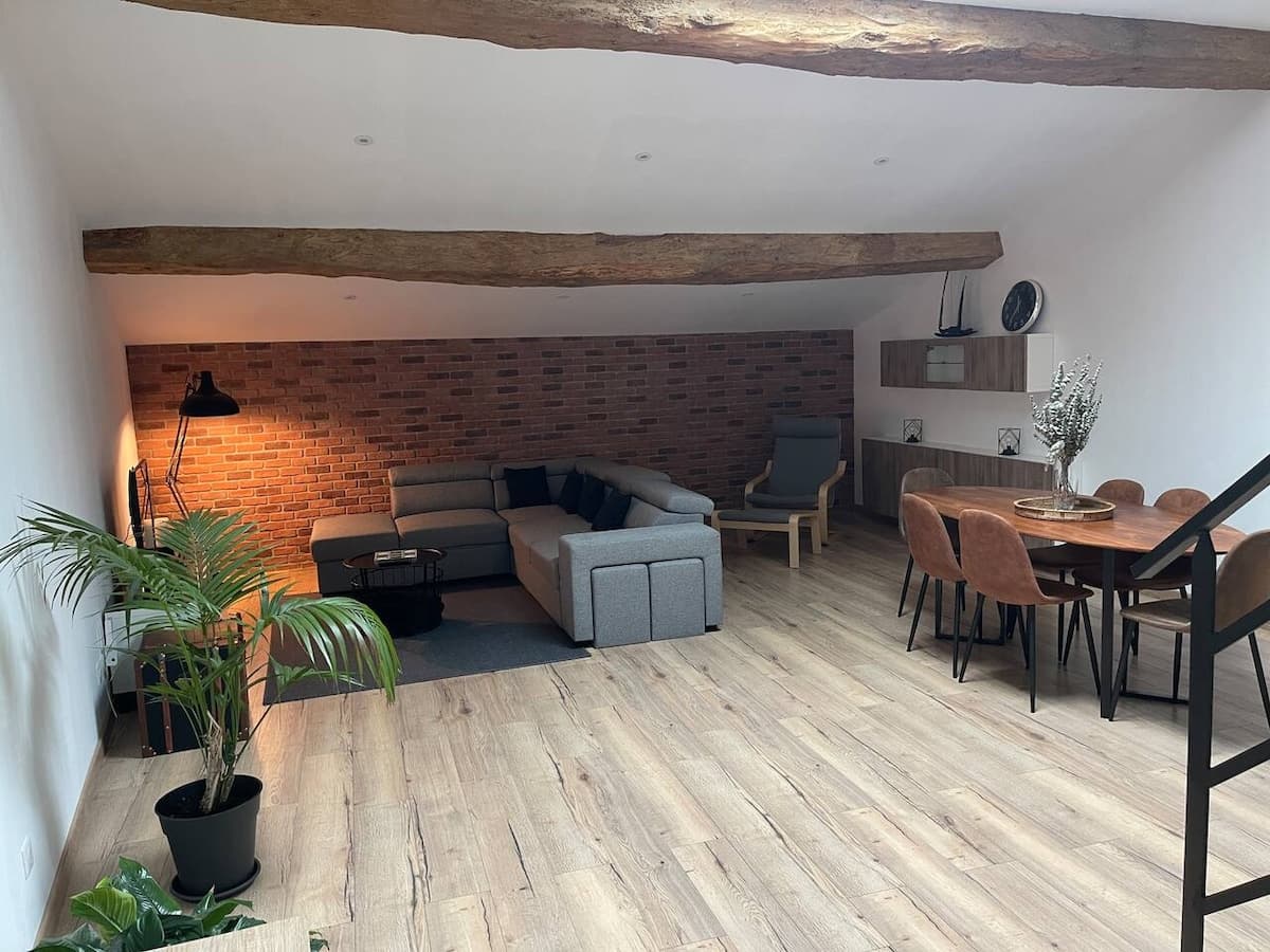
The Industrial Lodge, an 85 m² loft for five in the hamlet of Dreuilhe. Booked direct, 10% less than on the platforms.
€63a nightwhen booking here€70 on the platforms
See also
Your host: Florian